Satellite imagery has found its application in different spheres of human life. It’s now used by scientists, researchers, businessmen, and many others. Today, everyone can access Earth pictures via numerous online sources that allow users to download satellite imagery for different purposes, depending on the area of interest. In this article, we will elaborate on how satellite pictures can be both a source of valuable data for science and an art worth of a gallery.
Satellite Imagery As A Tool for Science
High-resolution Earth imagery provides scientists in different spheres with precious information that couldn’t be retrieved so effectively in any other way. One of the biggest applications of satellite imagery is wildlife preservation. Ecologists currently use modern tools that leverage satellite data to help them accurately keep track of wildlife populations and easily detect any other related global changes that can be seen from space. Let’s get into more detail on what that means.
Wildlife Monitoring
The scope of capabilities satellite imagery offers for animal counting and populations monitoring is endless. It helps scientists unravel more information about both flora and fauna. However, satellite data is still a mystery to many ecologists who don’t integrate it in their regular working process. Many modern wildlife experts are still more used to going into the field to study the subjects of their research at first hand.
Luckily, the growing popularity of satellite imagery and the development of space technologies and remote sensing data seem to change this state of things. Easy access to almost real-time high-resolution Earth imagery pushes wildlife ecologists towards embracing new opportunities of this data source to shift from traditional research methods. Even NASA itself has taken part in this trend with its GEDI (Global Ecosystem Dynamics Investigation) mission.
GEDI
The mission implies using laser-based remote sensing technology allowing for mapping vegetation heterogeneity with the help of airplanes, receiving a 3-D visualization. The purpose of this mission is to allow for determining forest structure and trees’ height in any location to accurately map both the vegetation and carbon storage. This means that scientists no longer have to apply for grants to hire an airplane or spend time flying transects.
Overall, while space technology keeps developing, building trust in satellite data among ecology experts is still an ongoing process that needs time. But while scientists only start to embark on understanding satellite imagery benefits, this same imagery is also becoming a new form of art.
Satellite Images As Art
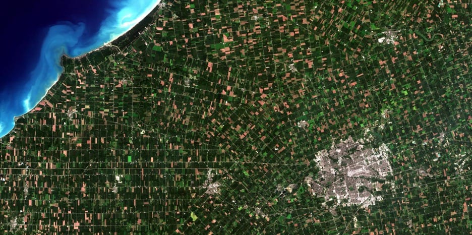
Earth is art itself, and its stunning views captured by satellites are only proof to that statement. The United States Geological Survey has even released the “Earth as Art” series that consists of pictures taken by Landsat satellites.
Contrary to traditional photographs taken by camera, satellite images visualize both visible and infrared light, interpreting it in many different ways. Satellites “assign” colors to different bands of light on the spectrum and combine them, offering a false-color image that can be completely different from what a human eye would see.
False-color satellite pictures are basically abstract art that offers a fresh look at famous landscapes of our planet we can easily recognize. And part from possessing beautiful aesthetics, these images also serve as an unmatched historic archive of changes that our planet undergoes and have educational value in different areas, including forestry, agriculture, and much more. Ultimately, the archive of satellite Earth imagery is the constantly refilled photo album for the planet’ life.
Apart from all that, one of the specifics of satellite imagery is its top-down perspective. Exactly this view directly from above allows satellite data to be analyzed and compared over time. Besides, this view is not what we can see in our everyday life. People are used to seeing things from the ground level while walking. That is why the Earth surface capture from the top-down perspective is so fascinating and new to the human eye. It’s an unfamiliar and fascinating view from space that can be seen neither from a mountain or an airplane window.
There is no denying that satellite imagery is part of both science and art in the modern world. And that is thanks to both remote sensing technology development and people’s interest in the opportunities, benefits, applications, and visual aesthetics Earth pictures offer.
